In Transit
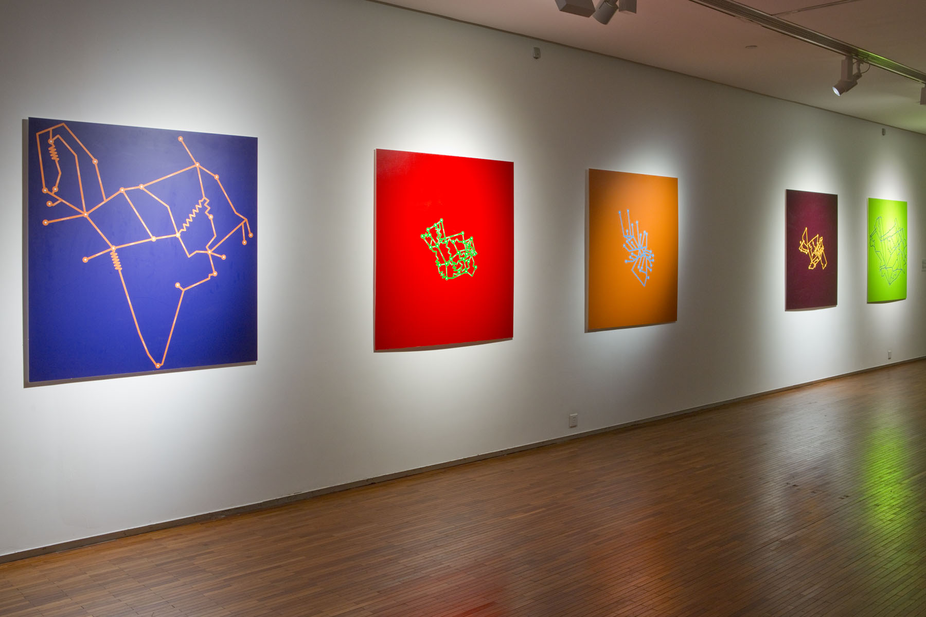
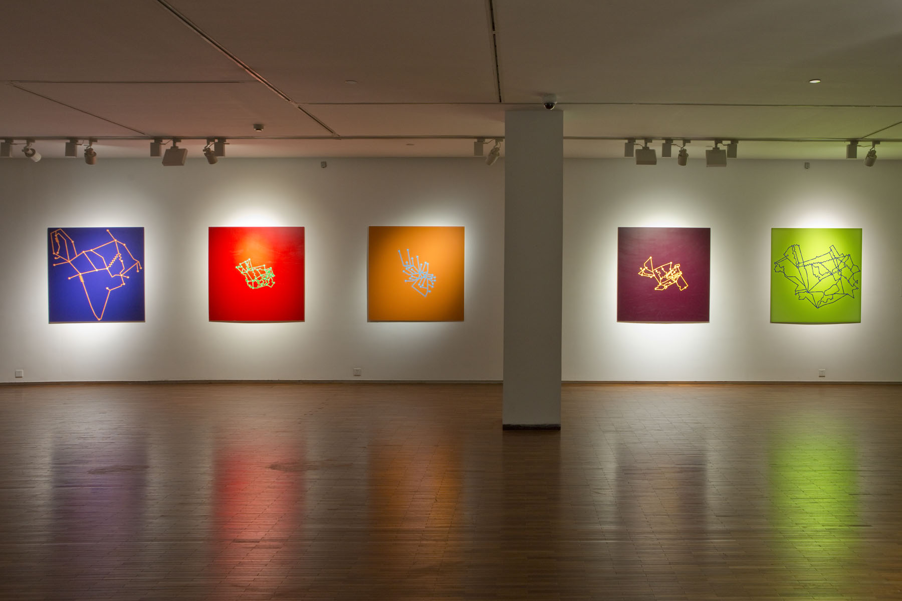
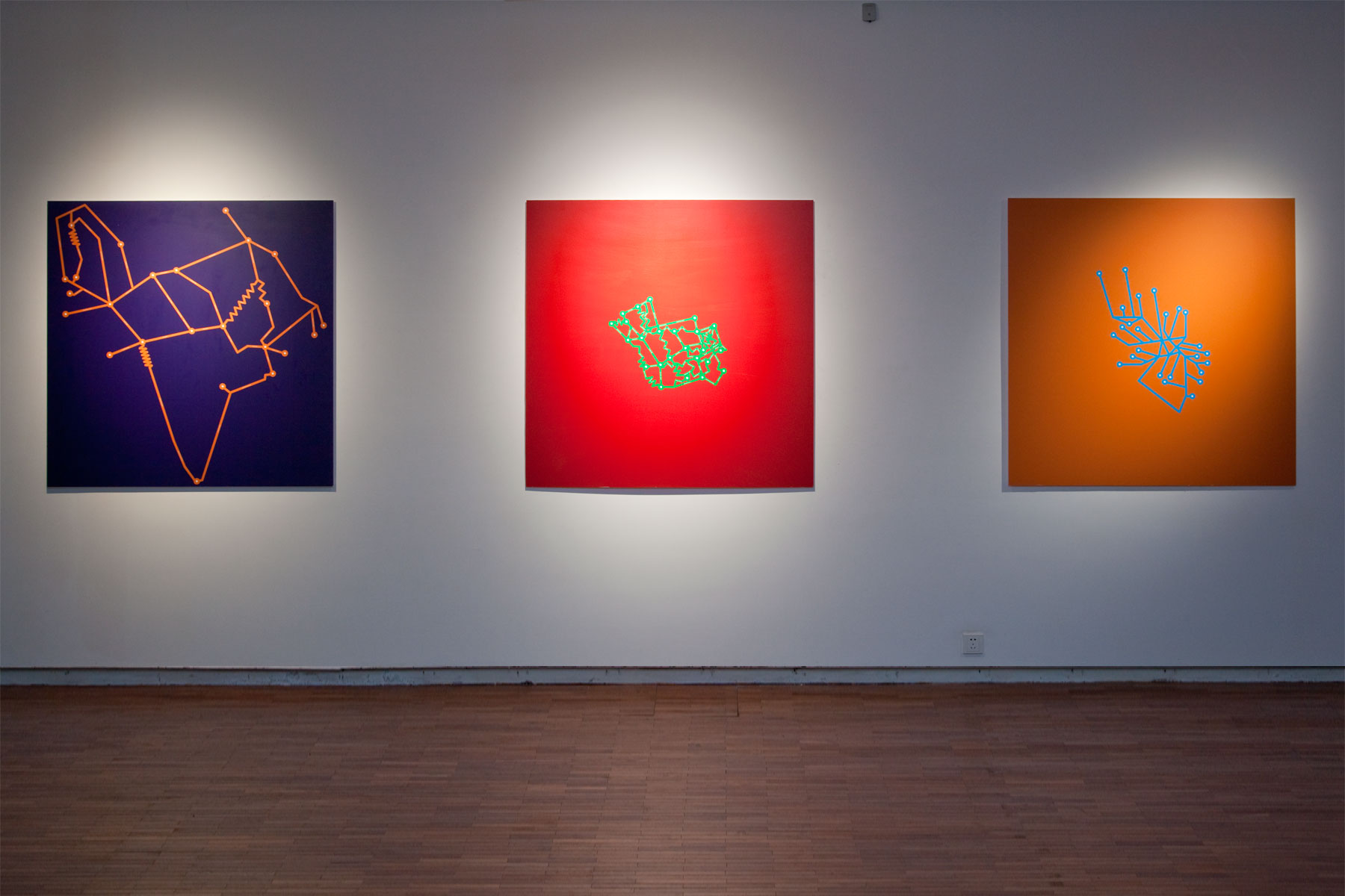
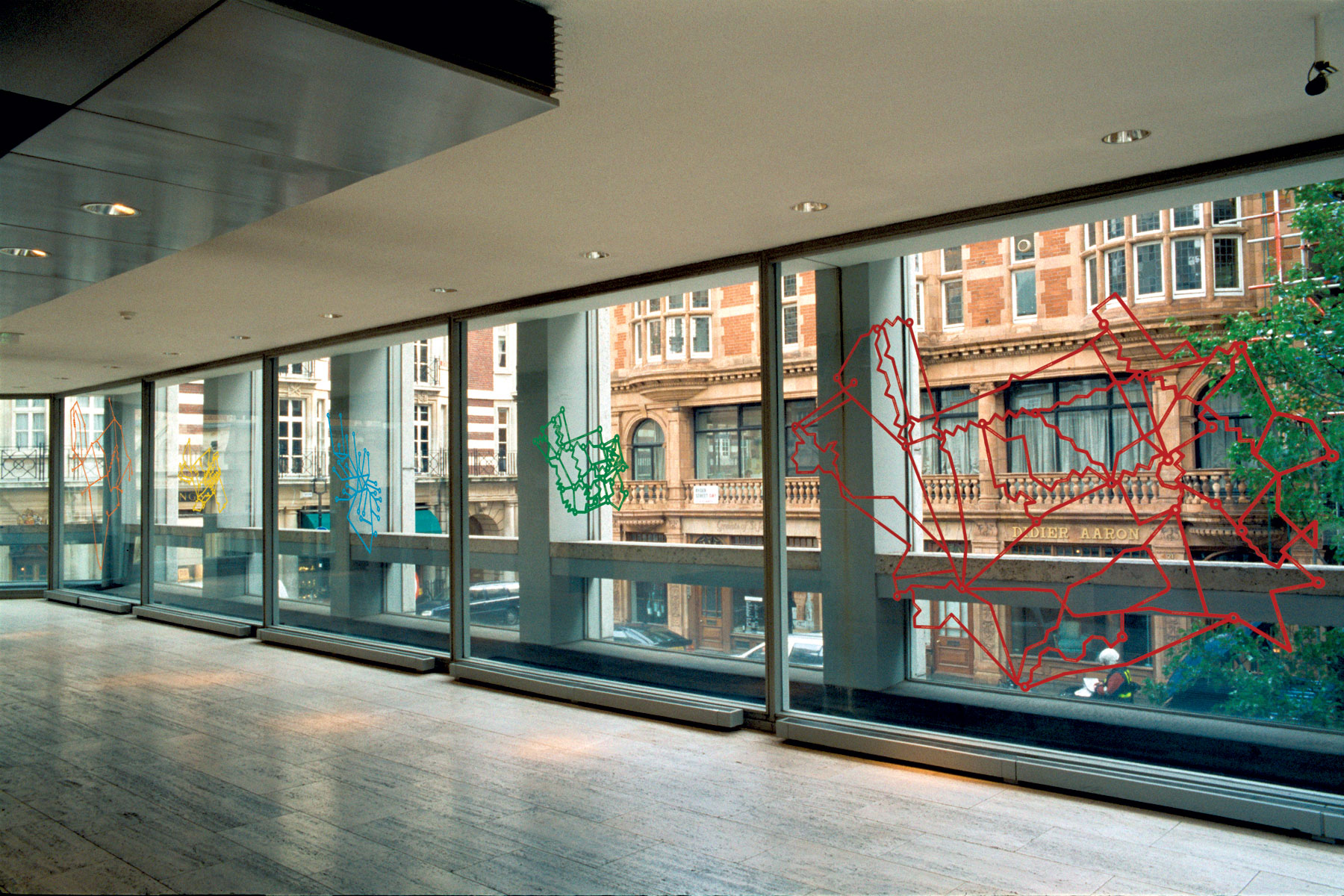
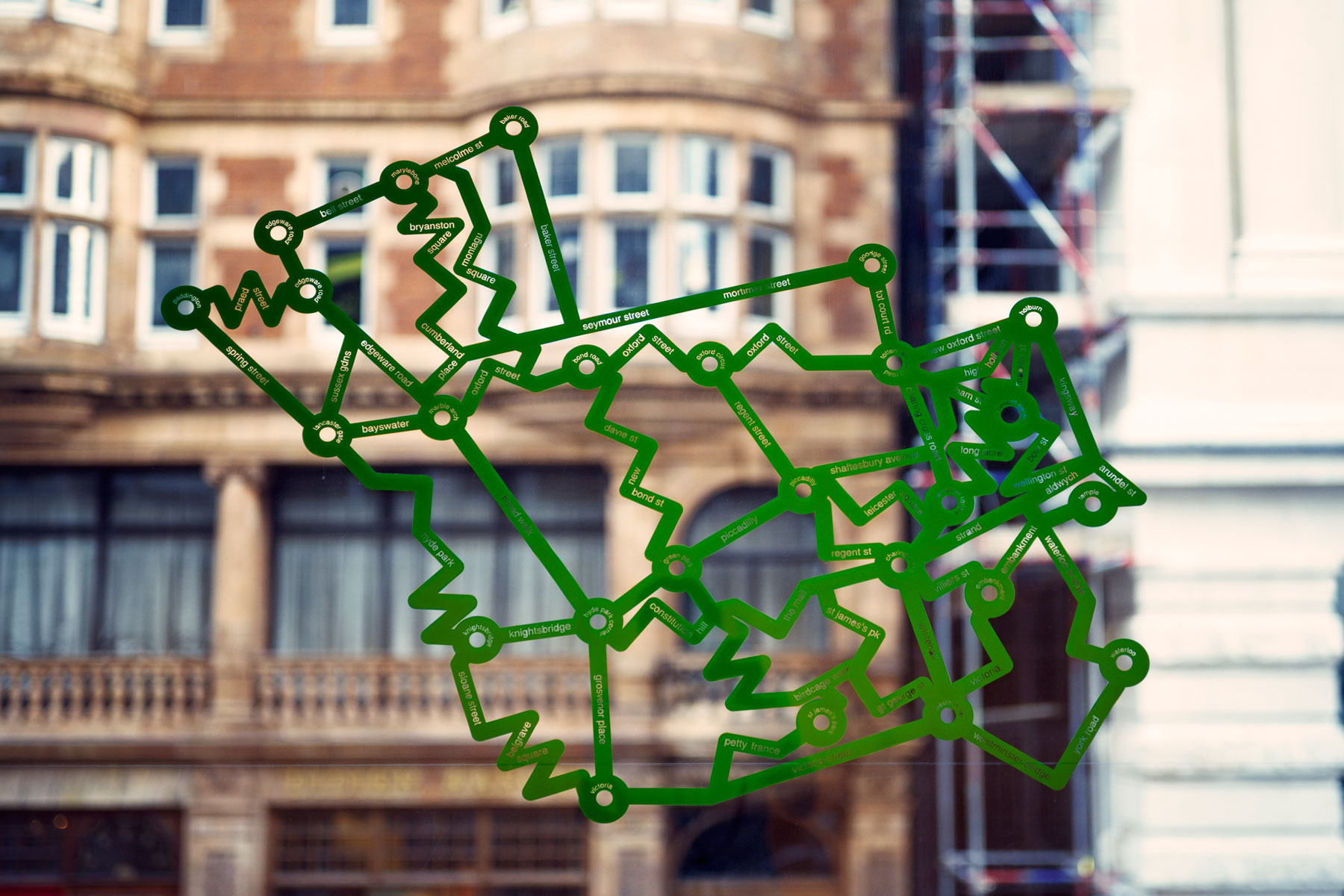
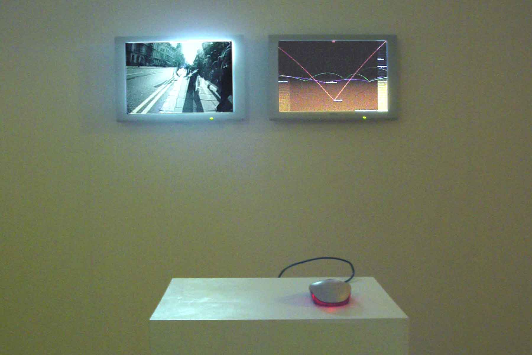
In Transit maps are constructed to show points in time rather than space, re-organising the city’s form, and our understanding of it. They were created from the artist’s journeys, as he tried different route combinations and various modes of transport to form a navigational device for the savvy city dweller. Inhabitants of cities have a unique sense of distance in relation to space: it is defined, not by how far apart destinations lie but by how long it takes to travel between them. In Transit explores this situation and offers an alternative to the conventional mapping of urban space; each map is dedicated to one of the five modes of transport: by foot, bicycle, car, bus and tube.
Developed at the V2 Lab for Unstable Media, Rotterdam and funded by the EMARE programe and the University of East London.


